
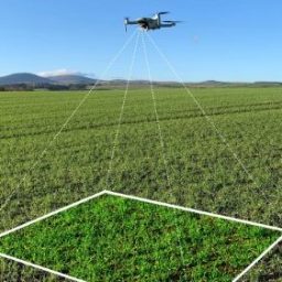

Crop Scouting With Skippy Scout
Field Overview Captured in a few minutes
Skippy Scout takes photographs of your crop to help you spot disease, pests and weeds. It is a faster way to walk your crop that offers high resolution, leaf level images for you and your agronomist to review.
Spraying and Spreading
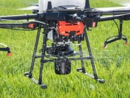
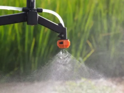
When it comes to spraying and spreading with drones, we have hands-on experience using advanced agri-drones for these specific tasks. We’ve utilized drones equipped with precision spraying technology to efficiently apply fertilizers, pesticides, and herbicides across large fields. This method ensures uniform coverage, reduces waste, and minimizes the environmental impact by targeting specific areas. In addition to spraying, we have experience with drone-based spreading, including the distribution of seeds or granular materials, optimizing both time and resource use in agricultural operations. These technologies allow for more precise and efficient management of crops and land
Coming soon, Awaiting CAA approval.


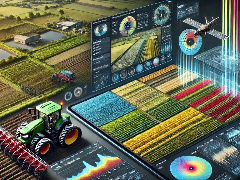
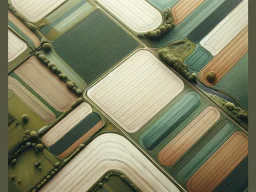


Unlocking Landscapes: Master Field Mapping!
Data Integration and Decision Support
- Yield Mapping: When combined with yield data, field boundaries become a critical component of analyzing which parts of a field are most productive and where interventions may be needed.
- Irrigation Planning: Advanced mapping can identify optimal irrigation strategies, ensuring that water is distributed efficiently across the field, especially in areas with varying soil types or slopes.
- Soil and Weather Data Integration: Integrating field boundary maps with real-time soil moisture sensors and weather forecasts allows for precise irrigation scheduling and better overall field management.
Benefits of Advanced Mapping and Field Boundary Management
- Increased Efficiency: Helps reduce waste in inputs like seeds, fertilizers, and water.
- Enhanced Yield: By monitoring and managing each part of the field precisely, overall productivity increases.
- Environmental Protection: Reduces runoff of chemicals into nearby water bodies by accurately applying fertilizers and pesticides only where needed.
Other Services
Lake Mapping
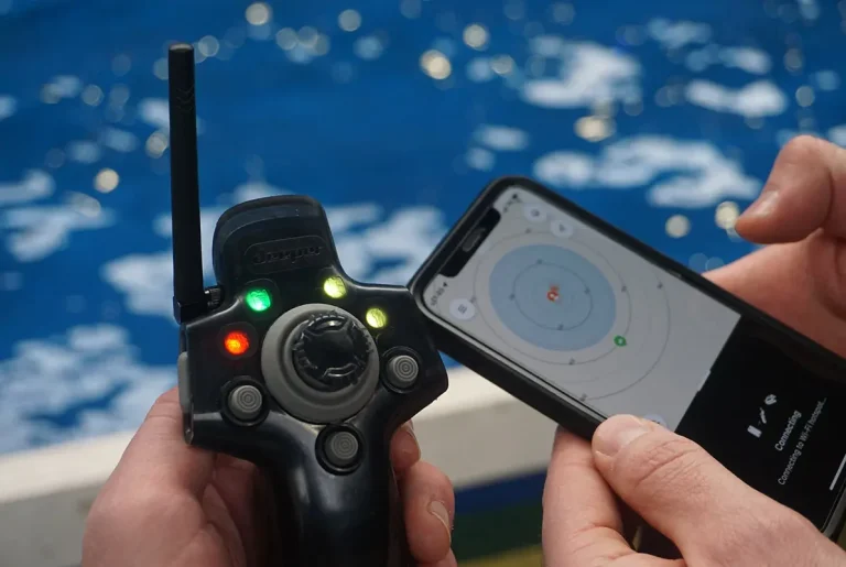
Lake mapping with sonar involves using sonar-equipped drones or boats to gather detailed data on underwater terrain, depth, and topographical features. Sonar technology sends sound waves to the bottom of the lake and measures the time it takes for them to return, allowing for accurate depth readings and mapping of the lake bed. This method helps in creating high-resolution, 3D maps of underwater landscapes, which can be used for ecological studies, resource management, or recreational planning. It provides precise and efficient surveying, even in areas that are difficult to access.
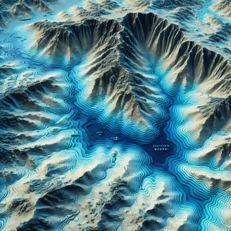
A bathymetric map is a detailed representation of underwater terrain, similar to a topographic map, but for bodies of water.
The Drone Company You Need
© Copyright. All rights reserved.
We need your consent to load the translations
We use a third-party service to translate the website content that may collect data about your activity. Please review the details in the privacy policy and accept the service to view the translations.